HEARTs: Headway or Escape? The Anthropogenic Riverscape Transition – How did medieval settlement structures interact with landscape evolution in the Eastern Harz Mountains and its forelands?
DEVELOPMENT OF THE BODE AND SELKE FLOODPLAINS
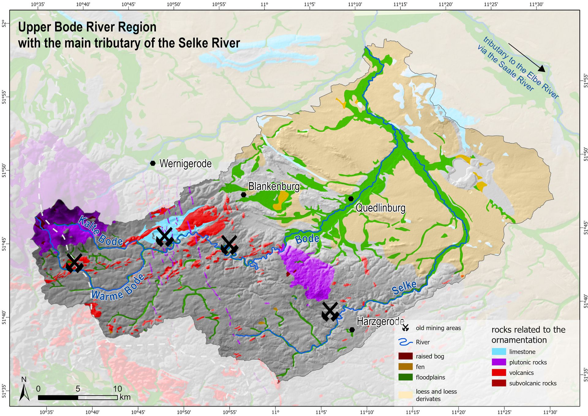
The HEARTs project focuses on the development of floodplain landscapes and fluvial societies in the catchment areas of the rivers Bode and Selke. Their upper reaches are located in the eastern Harz Mountains, an area formerly characterized not only by mining and charcoal production but also by pasture farming and agriculture. Subsequently, these rivers flow through the adjacent northeastern foreland of the Harz, which is dominated by agriculture on loess landscapes. These riverscapes have been used since the Neolithic period and have been intensively modified by human activities, especially since the early Middle Ages. Milestones in the development of the anthropogenic floodplain habitat are especially the implementation of hydropower and first river engineering.
Major Aims and Approach
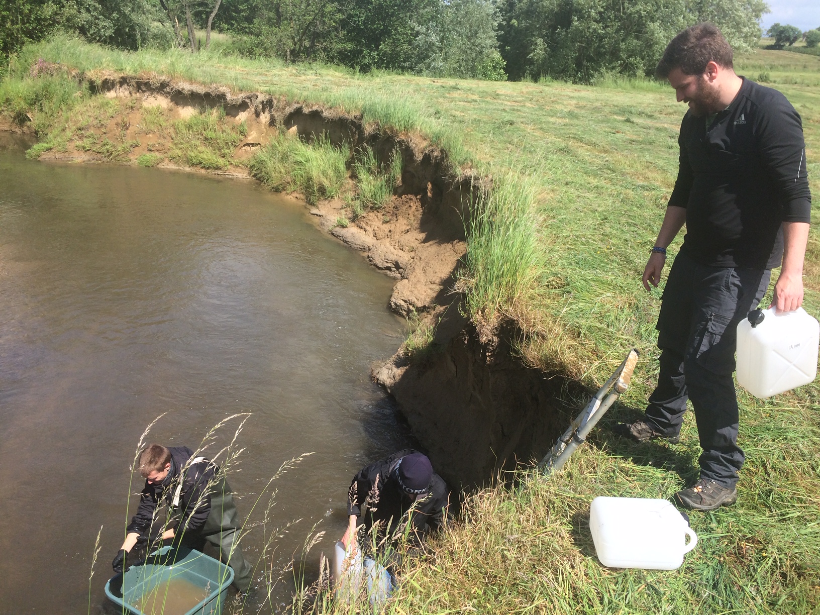
It is still unknown whether the relocation of production sites (e.g. for smelting or metal processing) and settlements since the 12th and 14th centuries from the small streams towards the floodplain landscapes was a consequence or a precondition for these changes. Deforestation phases and extreme weather events frequently enhanced soil erosion, especially since the early Middle Ages. The sediments washed down the slopes and were deposited in the floodplains together with pollutants resulting from mining activities. Therefore, today, they serve as an archive of land use change. PMF (positive matrix factorization) analytics will be used to distinguish elevated metal concentrations associated with mining activities from those caused by natural geogenic accumulations, pedogenic processes, or more recent contamination from industrial activities.
The main research question aims at the timing of land use change and its impact on floodplains and stream dynamics. To set up a chronology of the different intensities of mining, hydropower, forestry and agriculture, an interdisciplinary approach benefiting from historical, archaeological and geoscientific archives will be used. The study area represents a typical European low mountain range landscape altered by anthropogenic influences. The evolution towards a fluvial anthroposphere in the spirit of the SPP 2361 took place in the low mountain ranges differently compared to those of the loess landscapes of the Harz foreland. However, the underlying reason for these developments is unknown up to now: Did people head to floodplains representing a newly promising living environment due to technical progress or did they try to escape from worsening living conditions?
Our Study Area
Principal Investigators
Our Team

Co-Investigator
The Team